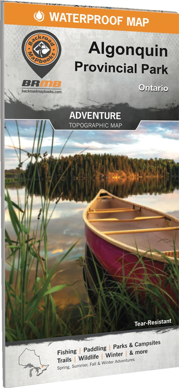
Backroad Mapbooks Algonquin Provincial Park Waterproof Tear-Resistant Topographic Map Online Sale
Description
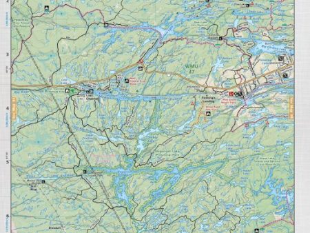
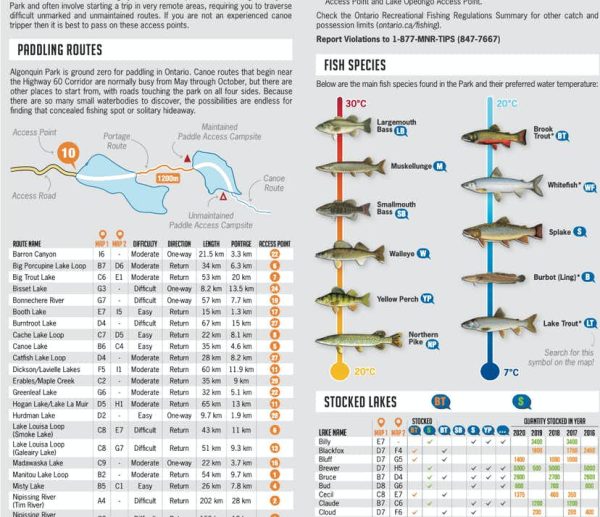
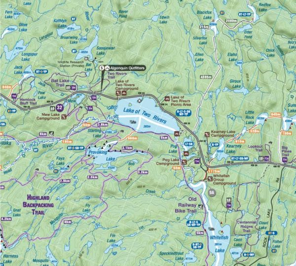
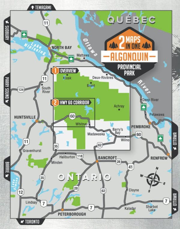
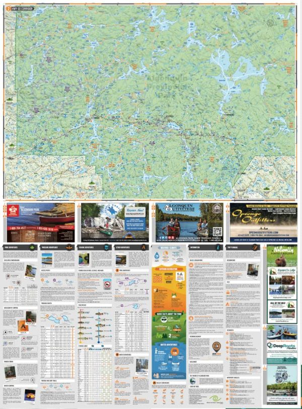
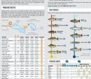
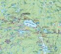
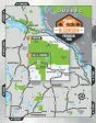
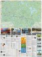
Spanning an area of 7,653 km2 (2,955 mi2), Algonquin Provincial Park is one of Canada’s largest and most popular provincial parks. Printed on durable waterproof and tear-resistant material – it even floats! Countless points of interest, paddling routes, hiking trails, campsites, beaches, and more! Anglers will find fish species listed for lakes and rivers, boat launch locations and more. Dual-sided 86 x 117 cm (34 x 46.25”) map offers unparalleled, close-up detail of the Highway 60 Corridor on one side and the entire provincial park on the other side. Park planning tools including camping, detailed trail and paddling information, trout stocking, park regulations and contact details. Seamless map coverage requires no page turning. UTM grids with latitude and longitude make navigating the map easy. Everything you need to plan your Algonquin Provincial Park Adventure!
Additional Information
| Title | Default Title |
|---|